SCIENCE
How Meteorologists Know When a Storm Is Coming

How many times have you planned to take the family on a picnic or to a ball game, only to be thwarted by a forecast of afternoon showers? Sure, the weather report isn’t always spot-on, but most of the time it is accurate — at least enough to carry an umbrella when the local weather report is predicting rain.
How do meteorologists know a storm’s brewing, even under sunny skies? The answer is multifaceted. There isn’t just one metric to look at, and there isn’t just one tool that does the looking. Rather than a crystal ball, meteorologists use satellites, balloons, and good old-fashioned (rain) boots on the ground. Here’s how it all comes together to make your local forecast.
Doppler Radar
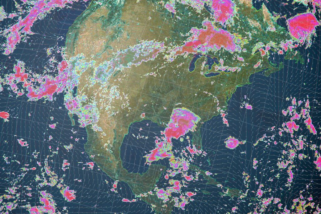
Radar, which stands for radio detection and ranging, sends out radio waves and measures what bounces back off an object, such as a plane, to help determine the object’s size and location. The same concept can be used to detect storm clouds. In the early days of the technology, during World War II, radar technicians tracking aircraft noticed that they could also detect storms.
By 1959, the National Weather Service had built a complex network of radar for use as an advance warning system for storms. Not long after, scientists devised updated radar to detect more specific information, including those that use the Doppler effect (the change in wavelengths as they pass an observer, like how the music of an ice cream truck becomes distorted after it goes by) to measure the direction and speed of wind and precipitation.
Satellite Imaging
Nowadays, the weather app on your phone can tell you the current temperature, give hourly and weekly forecasts, and even provide satellite imagery in real time, allowing you to monitor dangerous weather bands during inclement weather.
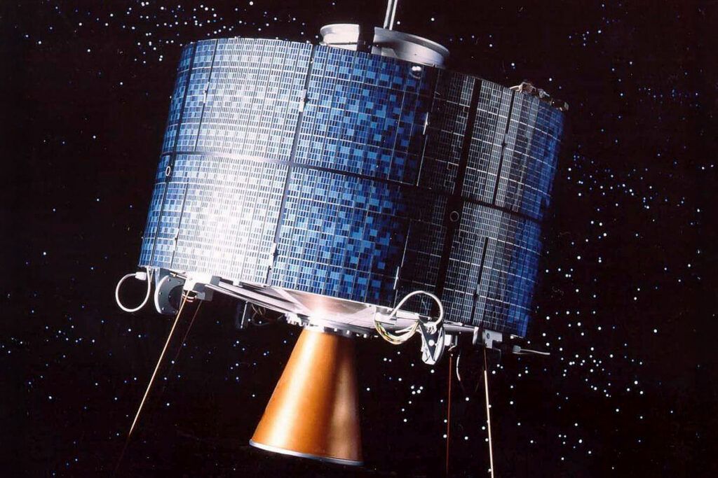
Currently, there are five main weather satellites hovering high above the planet in fixed locations, as well as hundreds of meteorological satellites in low-Earth orbit. From their extreme vantage points, these satellites use cameras to monitor cloud movement, moisture channels, lightning frequency, and ground and atmospheric temperatures.
Weather Balloons and Surface Sensors
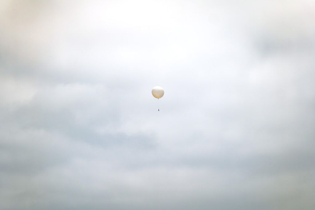
As helpful as meteorological satellites are, they only provide two-dimensional photographs. To fill in the gaps, meteorologists use weather balloons to take direct measurements of atmospheric conditions. Every 12 hours, researchers across North America release nearly 100 weather balloons, which can ascend to an altitude of 115,000 feet — far higher than any aircraft can operate.
Weather balloons are made from expandable latex or neoprene, allowing them to gradually expand to as much as 26 feet across (no wonder people sometimes mistake these shiny, spherical objects for UFOs). As a weather balloon ascends through the sky, a small instrument called a radiosonde measures atmospheric temperature, pressure, humidity, and wind profiles.
The radiosonde continuously transmits this data (plus GPS coordinates) to ground receivers, which provide meteorologists with a real-time three-dimensional map of the atmosphere.
Atmospheric Indicators
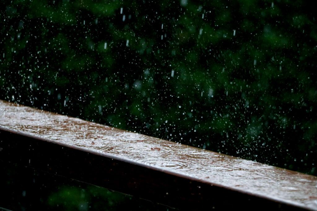
It’s one thing for meteorologists to forecast the path of an already existing tropical storm or hurricane across the Atlantic, but how do they predict storms before they even form? By monitoring certain atmospheric indicators that are key in the formation of severe weather.
Thunderstorms (which give rise to tornadoes, hail, and other destructive elements) materialize in part due to temperature differentials in the air known as atmospheric instability. Because of this, meteorologists use a measurement called Convective Available Potential Energy (CAPE) to estimate how much energy is available to fuel atmospheric instability and the likelihood of storm formation.
Using CAPE is kind of like lifting a propane tank and feeling its weight so you know how long you can grill for during a cookout. Additionally, meteorologists analyze wind shear, moisture, and other factors to gauge severe weather risk.
Supercomputer Forecast Models

All of the tools above pertain to current weather conditions, so you’re probably wondering how meteorologists make weather predictions. They do so by implementing a concept called a forecast funnel, through which they first analyze large-scale planetary processes, including jet streams and longer-term cycles such as El Nino, and then gradually narrow their focus to the regional level (such as the weather in your state), and finally, the local level (your city).
Meteorologists aren’t doing all these calculations by hand, especially given all the different variables and data points. They rely on supercomputers to analyze current atmospheric conditions, and then apply fluid dynamic equations to project future weather patterns based on those conditions. Supercomputers will generate multiple predictive models for a given storm system. Meteorologists review all the models before sharing the best one on the evening newscast.
They interpret the data in part by noticing what most of the models agree on. You may have seen a “spaghetti model” of a hurricane’s path on your local news, which uses multiple thin lines on a map to show all the possible paths of the storm. Each line represents a different model prediction — one or two may stray far to the east, for example, while the bulk of the models generally point toward the same city.
In that case, a meteorologist cautions anyone in that city to prepare for the storm — it’s not a given, but because more models point in that direction, there is a higher probability that’s where the hurricane will make landfall.
Artificial Intelligence
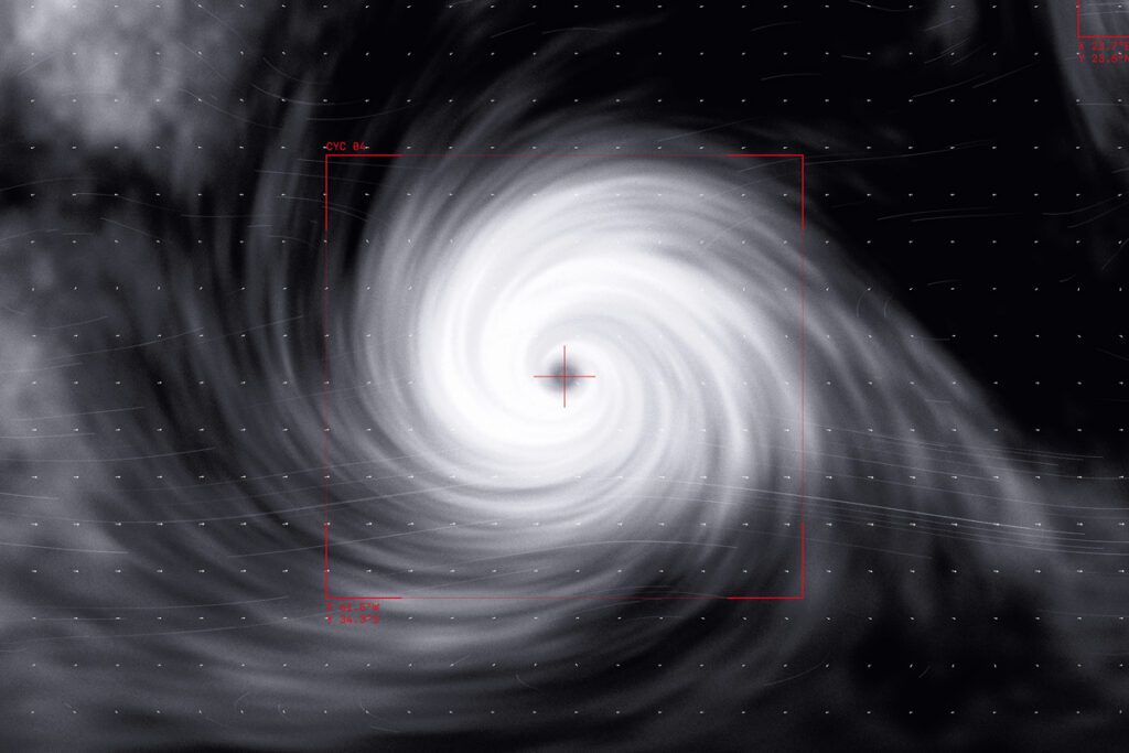
It shouldn’t be a surprise that artificial intelligence is playing an increasing role in weather prediction. In 2025, the National Oceanic and Atmospheric Administration (NOAA) deployed a suite of AI-powered global weather prediction models that pull together data from radar, satellites, and meteorological records to fine-tune forecasting.
NOAA’s new suite marks a giant leap in forecast speed and accuracy. Meteorologists believe that AI will produce increasingly superior forecasts at timescales ranging from a few hours to multi-month seasonal models, almost like a 21st-century Farmers’ Almanac. Forecasts for the present and near future even have their own name: nowcasts.
Citizen Science and Storm Spotters

In addition to the latest technology, meteorologists rely on citizen scientists to report on weather activity in real time. NOAA actively recruits and trains ground spotters to participate in its SKYWARN system — a network of trained volunteers who act as the eyes and ears of the National Weather Service.
These boots on the ground are useful because they can confirm hazardous weather detected by radar in real time — supercomputers may be great at probabilistic models, but feeling rain on your skin is as close to 100% sure as it gets. NOAA uses apps such as mPING that allow the public (including you, if you’d like) to report weather happening at the local level.
The reason crowdsourcing tools such as these are so useful is that the more data a model has, the more accurately it can predict the weather. Just remember to go easy on meteorologists when the forecast is slightly off — they’re scientists, not clairvoyants!